Watch it here!
Did you miss Dr. Sohan Shrestha’s research presentation
Watch it here!

Watch it here!

Greater Lakes: Reconnecting the Great Lakes Water Cycle is pleased to release A Practical Guide to Implementing Integrated Water Resources Management & the Role of Green Infrastructure.
Environmental Consulting & Technology, Inc. developed this guide for our project. Its aim is to help municipalities that are considering implementing integrated water resources management to gain an understanding the value of and what is involved in creating an IWRM plan. The Guide provides a description of the planning steps to go through, a summary of the type of information that should be considered, and a series of questions that can guide a municipality to a logical position. The guide puts a particular focus on the role of green infrastructure in IWM. The Guide can be found on the Greater Lakes project at http://glc.org/files/GreaterLakes-ECT-IWM-How-To-Guide-Final-20160510.pdf.
NASA’s Aquarius Returns Global Maps of Soil Moisture | The Water Network | by TallyFox.
via NASA’s Aquarius Returns Global Maps of Soil Moisture | The Water Network | by TallyFox.
Scientists working with data from NASA’s Aquarius instrument have released worldwide maps of soil moisture, showing how the wetness of the land fluctuates with the seasons and weather phenomena.
Soil moisture, the water contained within soil particles, is an important player in Earth’s water cycle. It is essential for plant life and influences weather and climate. Satellite readings of soil moisture will help scientists better understand the climate system and have potential for a wide range of applications, from advancing climate models, weather forecasts, drought monitoring and flood prediction to informing water management decisions and aiding in predictions of agricultural productivity.
Launched June 10, 2011, aboard the Argentinian spacecraft Aquarius/Satélite de Aplicaciones Científicas (SAC)-D, Aquarius was built to study the salt content of ocean surface waters. The new soil wetness measurements were not in the mission’s primary science objectives, but a NASA-funded team led by U.S. Department of Agriculture (USDA) researchers has developed a method to retrieve soil moisture data from the instrument’s microwave radiometer.
The Aquarius measurements are considerably coarser in spatial resolution than the measurements from the upcoming NASASoil Moisture Active Passive (SMAP) mission, which was specifically designed to provide the highest quality soil moisture measurements available, including a spatial resolution 10 times that offered by Aquarius.
Water is the lifeblood of civilization. Water is water, not waste.
Protect this precious resource.

Best Regards,
Sam Lines, MBA. WasteWater Education Board of Directors.
Concrete Sealants, Inc.
And check out the first in our Guest Authors Pages – from Board Member Sam Lines.
This 2 hour online class “Introduction to WasteWater Microbiology”, has ended but contact us for future dates.
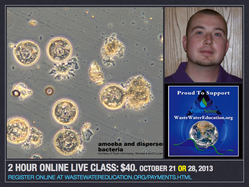
Designed for anyone who manages wastewater systems of any size or technology requiring monitoring of biological organisms – and is not only for large municipal systems. Using stunning phase contrast electron microscope images, this is an opportunity to see & appreciate minute living organisms which form the basis of treating and recycling water. Fee is $40 with the option to purchase, at $35, a CD of slides and video resources. CD Purchase Information attached here.
It's all connected! Water IS water, not waste!
On demand, mobile ready CEU and PDH
Create your site specific owners maintenance guide
All you'll ever want to know about Septic Systems
A little bit of water history--one day at a time

You must be logged in to post a comment.